Hydrographr
About the Leibniz-Institute of Freshwater Ecology and Inland Fisheries (IGB)
The Leibniz-Institute of Freshwater Ecology and Inland Fisheries (IGB) is Germany's largest and one of the world's leading research centers for inland waters. IGB's vision is to understand all fundamental processes in water bodies and their biotic communities, including their biodiversity, their ecosystem services and their responses to global change. IGB's research knowledge thus helps to counter global environmental change and develop measures for sustainable water management.
The common goal: Development of a tool for the processing of geodata in flowing waters
Background: The biodiversity in freshwaters is not sufficiently researched
The processing of geodata in watercourses is often time-consuming: River ecosystems are extremely complex. Rivers are strongly interconnected with the landscape both laterally and longitudinally; moreover, they know neither national nor international borders. This complexity poses particular challenges for science and nature conservation. At first glance, it may seem unproblematic to assign a species record, such as fish, dragonflies or plants, to a specific river section. This may be true in individual cases, but when it comes to thousands or millions of observations, even computers quickly reach their limits.
Compared to terrestrial and marine habitats, the ecological significance and specificity of biodiversity in freshwaters has therefore not yet been sufficiently researched, which means that there is often a lack of conservation measures at regional and global level.
The idea: A tool that simplifies the processing of large amounts of data
A team from the Leibniz-Institute of Freshwater Ecology and Inland Fisheries (IGB) wanted to improve this situation and develop a tool that provides simple functions to process the often large amounts of data. The aim was to ensure that the data does not have to be loaded into R first, as the tool's functions directly control various open source software that processes the data outside of R.
The Junior Research Group is led by Sami Domisch, who researches the biodiversity of freshwaters at IGB. Sami Domisch's focus is on spatial biodiversity patterns, macroecology and the development of tools to assess the biodiversity of freshwaters at large spatial scales.
Implementation as an NFDI4Biodiversity Flexfund project
Numerous new functions for users
To make the work easier for users, the IGB project team has developed the R package hydrographr, which combines the freshwater dimensions from the NFDI4Earth and NFDI4Biodiversity consortia. The completion of the tool was partly funded by NFDI4Biodiversity funds as part of a Flexfund grant.
The R package offers its users a range of innovative analysis functions:
- Implementation of freshwater-related connectivity analyses
- Annotation of existing point data along the network with spatial connectivity and environmental attributes (e.g. distance of an occurrence to the source of the river or to the estuary)
- Generation of analysis-ready data for subsequent applications
With a focus on open-source language integration and scalability, Hydrographr provides an essential building block for considering connectivity in spatial, water-specific applications.
Background and preliminary work
The Leibniz Junior Research Group led by Sami Domisch has enabled the implementation of this tool by applying state-of-the-art global geospatial analysis:
- A new habitat type delineation using the newly developed Hydrography90m dataset, which maps streams worldwide at a spatial resolution of 90 m
- State-of-the-art machine learning models for mapping the diversity of aquatic insects, the most species-rich group of freshwater animals, based on the new EPTO database compiling the worldwide occurrences of Ephemeroptera, Plecoptera, Trichoptera and Odonata
- Application of regionalization analyses to show the availability and variability of freshwater habitat types across national boundaries
The combined application of these core elements at a global scale, yet with high spatial resolution, enables ground-breaking, standardized and comparative analyses in spatial freshwater biodiversity research. Hydrographr provides functions that enable scalable hydrographic data extraction and analysis workflows. The R functions are wrappers around the open-source Geospatial GDAL and GRASS GIS software that run in the Linux environment and enable fast and memory-efficient data processing.
Explore Hydrographr
Contact persons

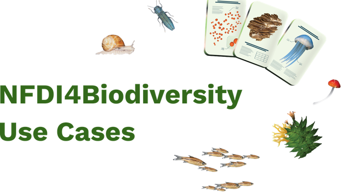
Discover other Use Cases
What is the potential of NFDI4Biodiversity? This is illustrated by our use cases: real-life applications in which we develop solutions for better data management and provision.
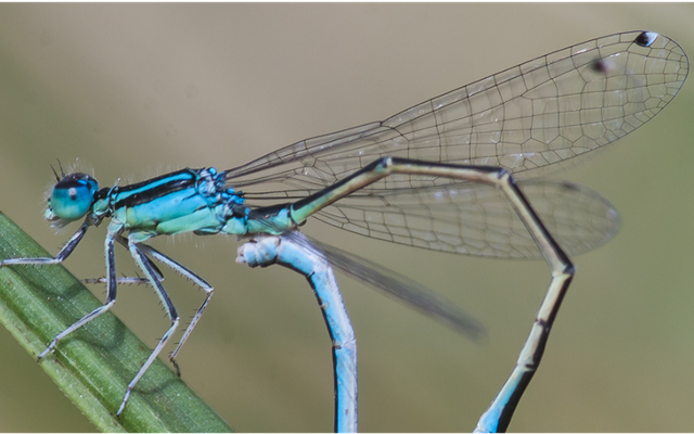
Dragonfly Atlas
We are working with the dragonfly experts of the GdO to make around two million dragonfly data available for research and nature conservation.
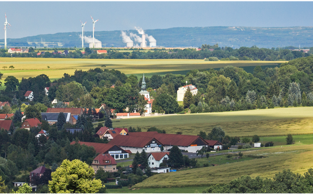
Land Use Monitor
Visualizable long-term data on land use can enrich biodiversity research enormously. Together with the IOER, we are integrating them into NFDI4Biodiversity.
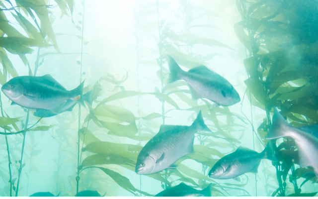
Fish Atlas
The GfI's fish experts have more than 100,000 data sets on regional fish species. Together, we make them easier to find and therefore more accessible.